File:Duria.png
From FeyworldWiki
Jump to navigationJump to search
Size of this preview: 600 × 600 pixels. Other resolution: 2,400 × 2,400 pixels.
Original file (2,400 × 2,400 pixels, file size: 30.39 MB, MIME type: image/png)
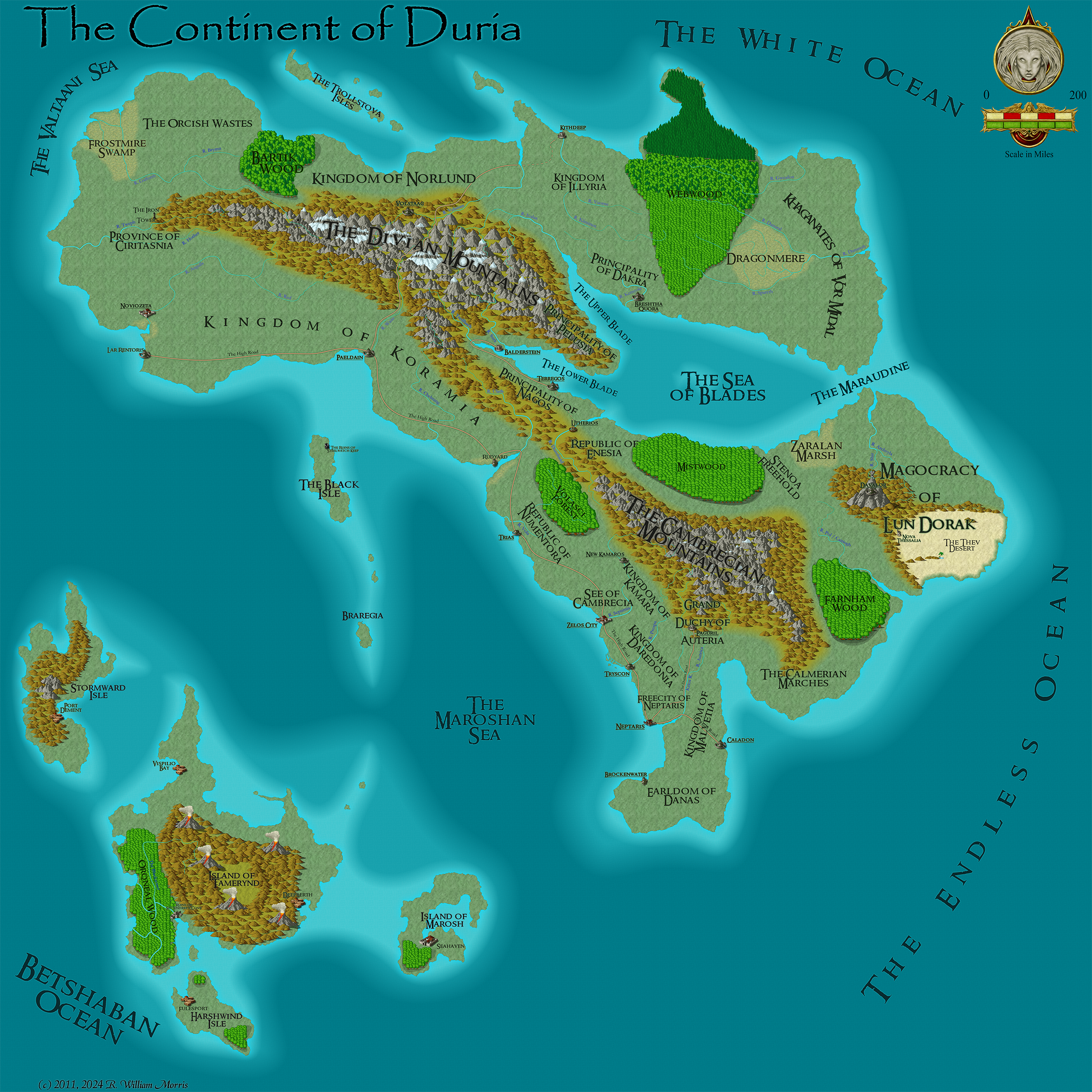
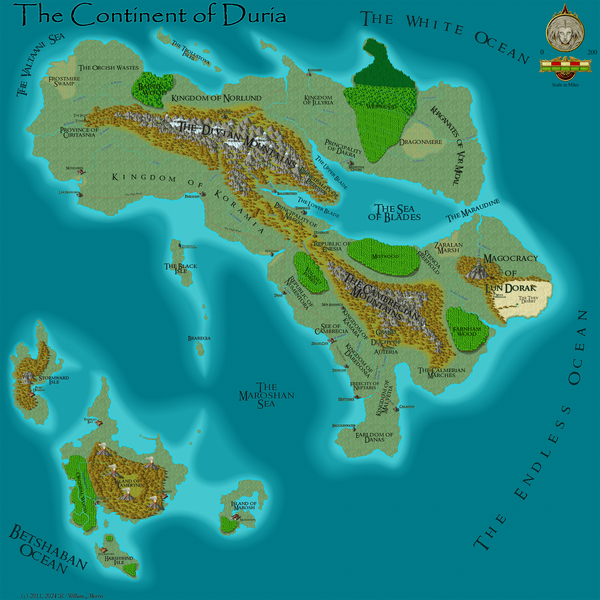
A political map of the continent of Duria and the Pirate Isles.
File history
Click on a date/time to view the file as it appeared at that time.
| Date/Time | Thumbnail | Dimensions | User | Comment | |
|---|---|---|---|---|---|
| current | 03:31, 27 March 2024 | | 2,400 × 2,400 (30.39 MB) | WikiSysop (talk | contribs) | |
| 12:01, 7 March 2011 | 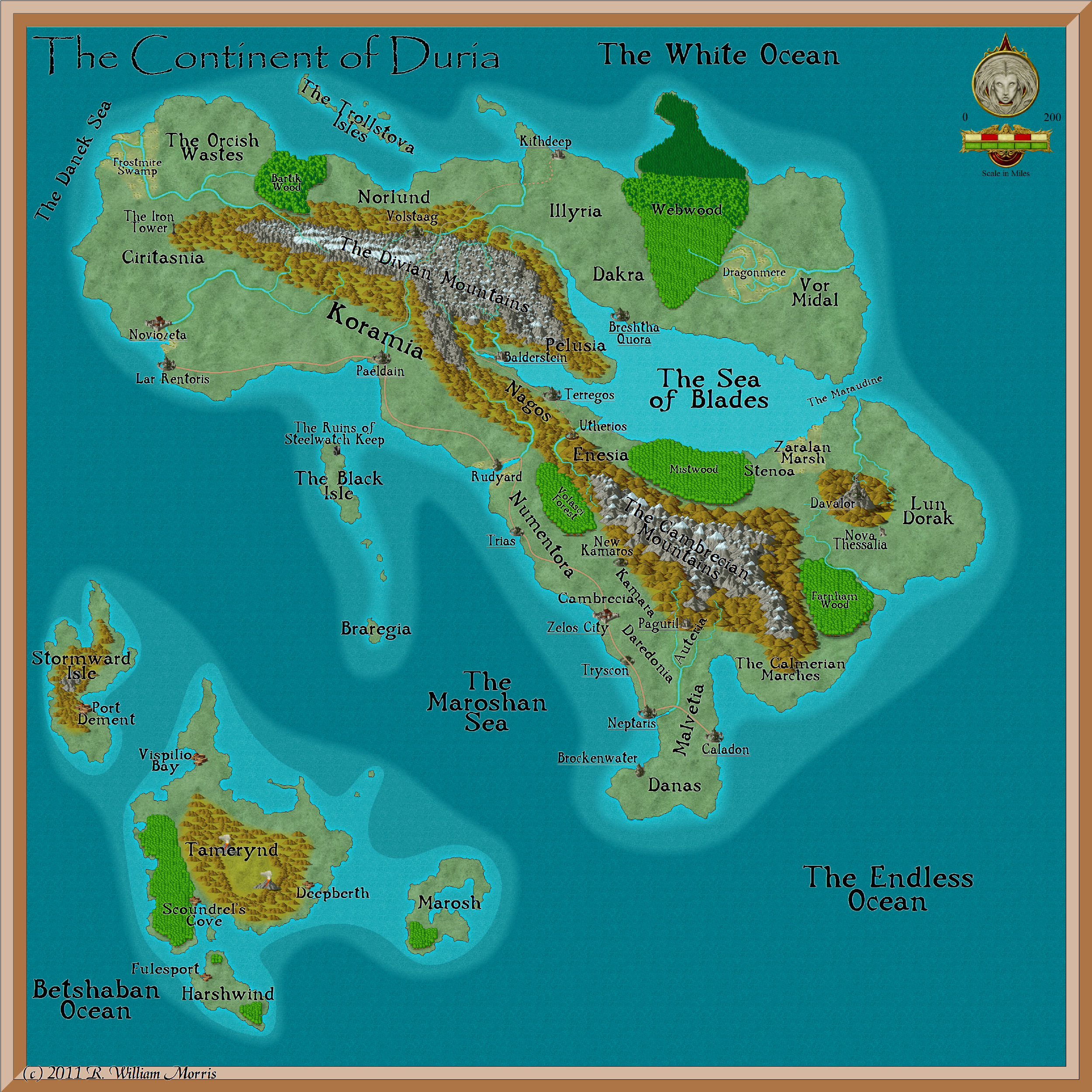 | 2,500 × 2,500 (5.89 MB) | WikiSysop (talk | contribs) | ||
| 00:31, 30 June 2010 | 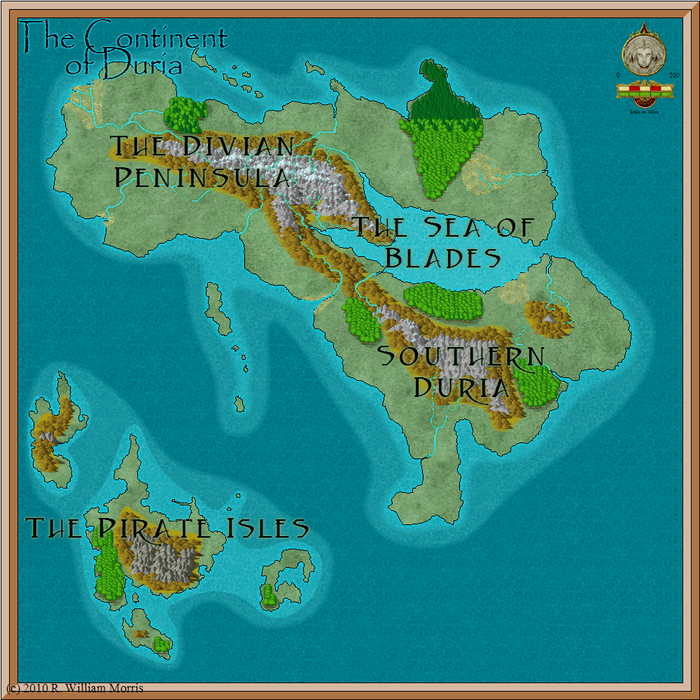 | 1,000 × 1,000 (1.18 MB) | WikiSysop (talk | contribs) | ||
| 20:02, 3 January 2010 | 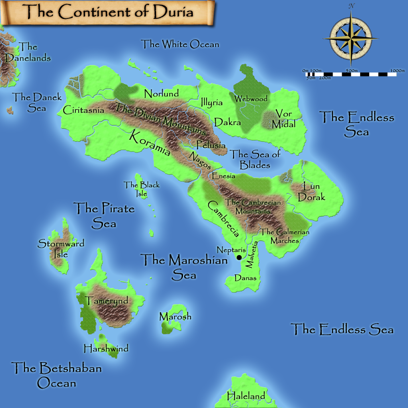 | 800 × 800 (567 KB) | WikiSysop (talk | contribs) | Map of the continent of Duria | |
| 20:02, 3 January 2010 |  | 800 × 800 (568 KB) | WikiSysop (talk | contribs) | Map of the continent of Duria | |
| 06:58, 2 January 2010 |  | 800 × 800 (568 KB) | WikiSysop (talk | contribs) | A map of the continent of Duria | |
| 06:48, 2 January 2010 |  | 800 × 800 (566 KB) | WikiSysop (talk | contribs) | The continent of Duria | |
| 06:46, 2 January 2010 |  | 800 × 800 (566 KB) | WikiSysop (talk | contribs) | A map of Duria | |
| 23:55, 29 December 2009 | 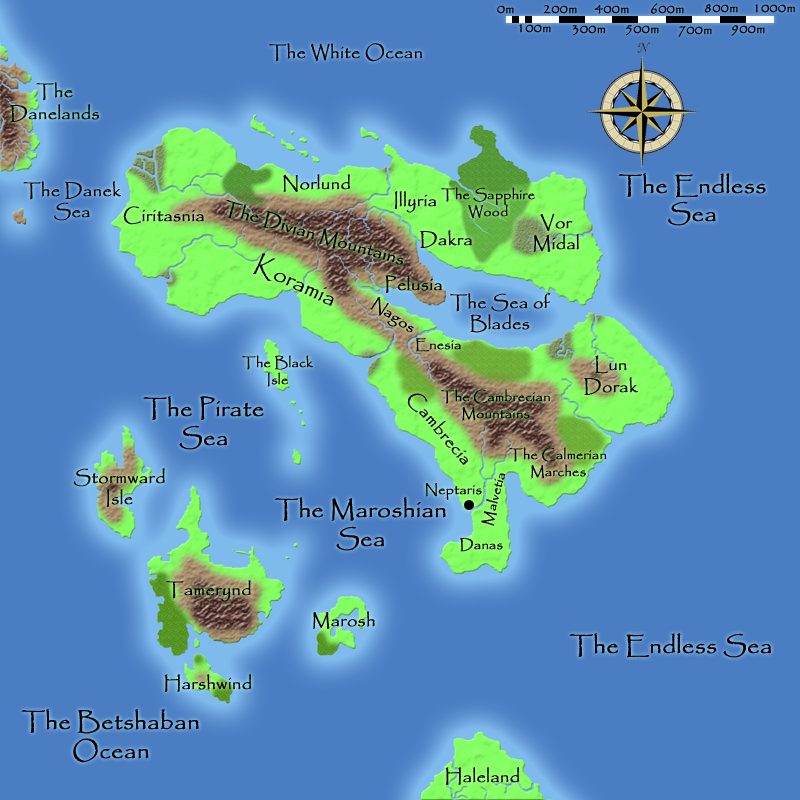 | 800 × 800 (538 KB) | WikiSysop (talk | contribs) | ||
| 22:54, 28 December 2009 |  | 800 × 800 (537 KB) | WikiSysop (talk | contribs) | A political map of the continent of Duria and the Pirate Isles. |
You cannot overwrite this file.
File usage
The following 3 pages use this file: